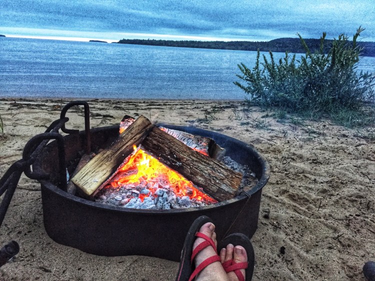
We were sitting on the beach at a campsite at Munising Tourist Park, eating s’mores, drinking beer and watching the sunset when we hatched the idea. We’d spent the day hiking at Pictured Rocks National Lakeshore, and had returned to our car-camping site for a swim, campfire, some beer, and bed.
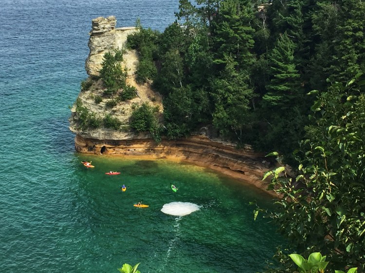
Robin asked, “So what’s next? Harder than this.” We’d kayaked about 10 miles of Lake Superior shoreline and hiked 14 miles of Pictured Rocks, so it wasn’t like this had been an “easy” trip, especially with the huge amounts of rain we’d endured, but I totally understood what she meant. Hauling a wagon a few hundred feet from the Jeep to our campsite, pitching what we’d nicknamed “The Barbie Dream Tent” that we’d borrowed from my new husband’s pile of “Divorced Dad Funtime Equipment,” and sitting around a picnic table each night hadn’t exactly been roughing it. Our friends thought it was roughing it–we’d heard, “You girls are crazy–be careful” more times that we could count, but I knew what she meant about a harder trip.
“I’d like to get into backpacking–really be out in the wild,” I said.
“So where would we go?”
I’d recently read a couple of memoirs by Appalachian Trail through-hikers, and had been watching “Homemade Wanderlust” on YouTube, which chronicled a young woman’s through-hike on the AT, so that’s what was on my mind.
“What if we did a section of the Appalachian Trail?”
The next morning, we woke to more rain, and decided to caffeine up at the Falling Rock Cafe & Bookstore in Munising, and figure out our day. More Pictured Rocks? Drive to some other interesting area? We weren’t sure. After a few cups of coffee, we road tripped to Marquette, about an hour away, and holed up at BabyCakes Muffin Company to wait out the rain and start planning. Armed with an Appalachian Trail guide, a Rand McNally road atlas, and a laptop, we began to stake out locations, with a goal of hiking 100 miles minimum the following summer. We figured we could get away with ten or twelve days away from home and responsibilities without getting into too much trouble. The logistics of finding a place where we could safely leave a car, and get back to it at the end of our hundred miles was the biggest point of contention. While we didn’t really get anything truly planned, we did learn a lot of background that would come in handy later. Ultimately, our starting point was determined by the offer of friends who lived in Maryland, who let us leave our car at their condo, where a shuttle could easily deliver us at the end of our hike.
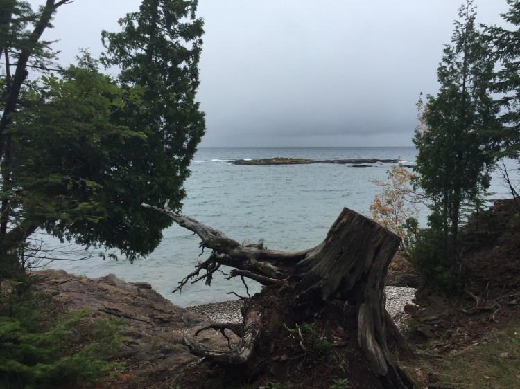
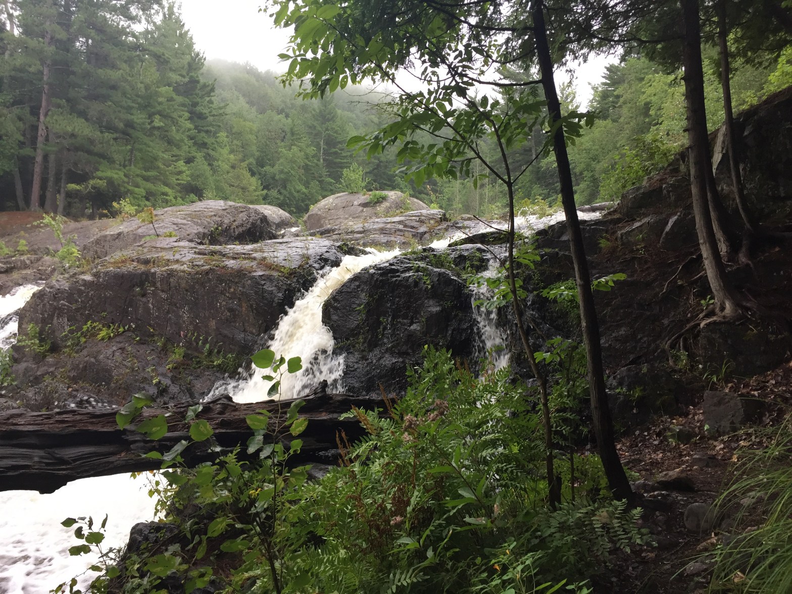
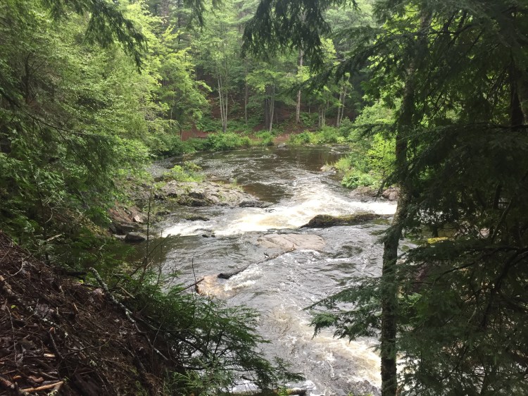
When the rain shifted from pouring to misting, we visited Little Presque Isle Park, and watched from a distance as giant waves crashed against the Black Rocks, left by an ancient volcano. Later that fall, two tourists who ventured too close to Lake Superior would be swept away in that location. The park’s trails were short, but beautiful, and I was reminded of why I loved living in Marquette so much when I was a student at Northern Michigan University. Later in the day, we drove to Dead River Falls, another of my favorite locations from younger days, and we wound our way through the rooted paths, following the series of falls, a heron keeping a short distance ahead of us over the course of a mile or so.
When our weekend ended, we had a loose Appalachian Trail plan: start training, get decent gear together, and figure out where to begin and end.
