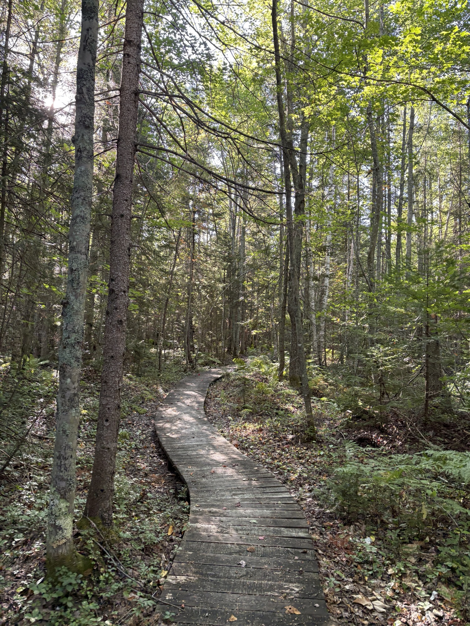
It gives me so much joy to see my Gaia app recordings meet up, especially when it connects big chunks of previous hikes! This week, I traveled to the UP to settle in at Soldier Lake campground off of M-28 near Strongs Corner to establish a base camp for a few days of hiking.
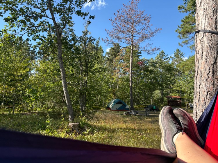
My friend Jen met me Wednesday night at the campground to join me in a 14-mile hike near the eastern edge of Tahquamenon Falls State Park the following day. Our plan included a 4-mile stretch of roadwalk that could possibly still be under construction, so we knew the day might involve some shifting plans.
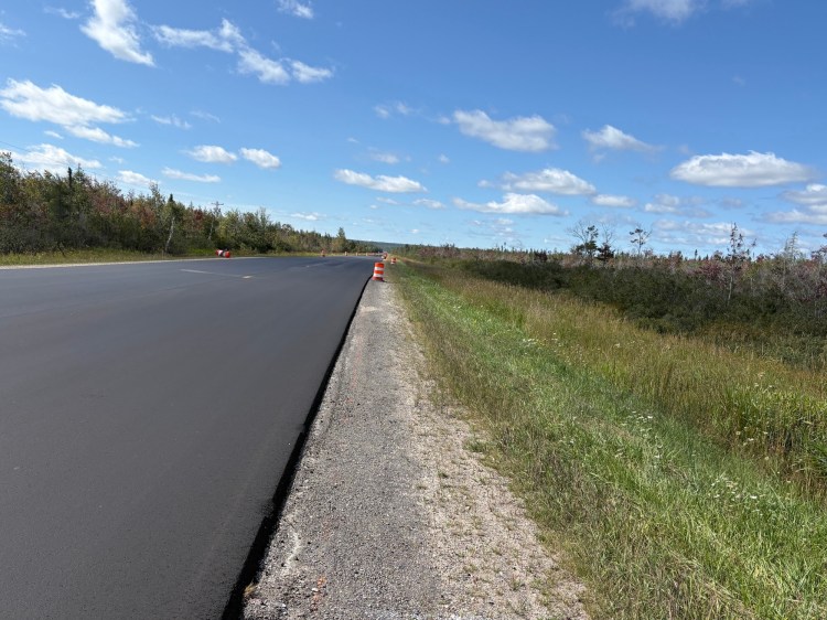
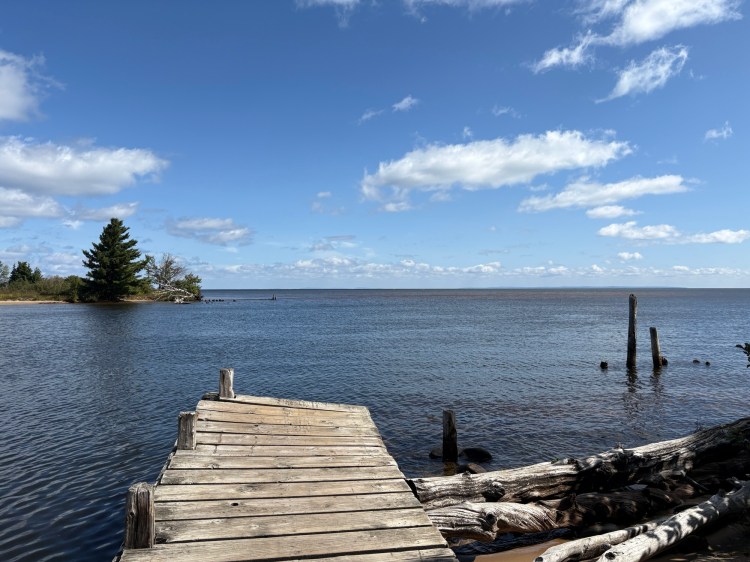
However, as we drove M-123 to our end point off of the Tahqua Trail road, we discovered nothing but newly paved road and some orange barrels, so that was good news! We dropped a car and then drove back to the Bark Dock off of the Lake Superior Shoreline Road to begin our hike.
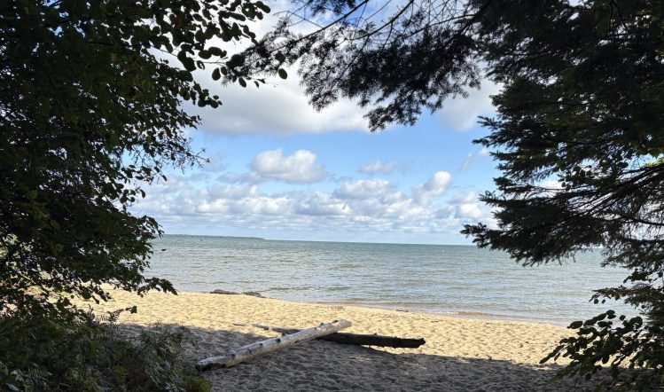
We were treated to a Lake Superior view at the start, some beautiful green tunnel for a while, then veered off further inland, following a two-track until we emerged on M-123. We began the roadwalk, commenting on how lucky we were to have cool temps, a nice breeze, sunshine, and not much traffic. The nice thing about a roadwalk is that it generally goes by fast. By the time our stomachs were grumbling for lunch, we had arrived at the boat launch near the Rivermouth campground, which had all the good things hikers seek: a picnic table, a trash can, a privy, and a gorgeous view.
After lunch, we finished off the roadwalk and began to follow the Tahquamenon River, as the NCT runs between it and the Tahqua Trail road. For such a narrow strip of woods, it was very scenic–pretty trees, boardwalks over streams, and lovely views of the river.
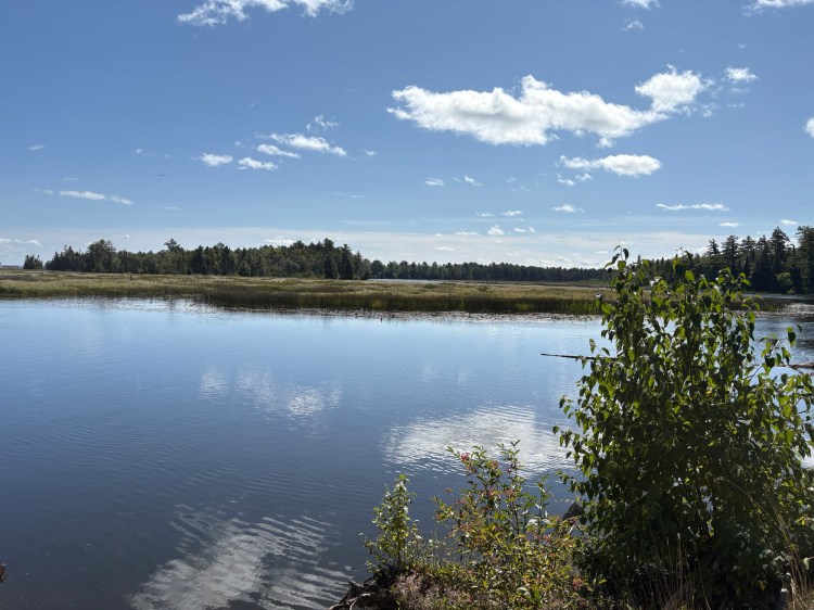
Occasionally, the trail veered onto the road to cross a larger creek, but mostly, it was a nicely wooded walk. Just as I began to question the wisdom of a 14-mile day, the trail crossed the road, giving me hope that we were getting close to my car, and before I could even get too excited, the parking lot came into view. We took a few minutes to stretch, then hopped in to go retrieve Jen’s truck from the Bark Dock.
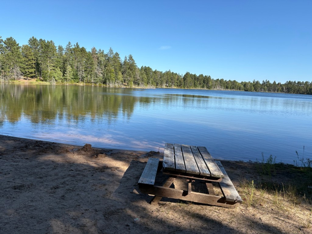
When we arrived and found the temperature on the beach to be 64-degrees, we opted to skip Lake Superior and go for a post-hike swim back at Soldier Lake. While we had been hiking, two more hiking buddies, Lena and Tom, had arrived. When we arrived back at the campground, we said hello and spent a little time chatting, then headed for the swimming area. For such a small lake, the water was surprisingly refreshing and the bottom was nice–a lovely surprise! My achy joints felt much happier after the swim! After dinner we got a tour of Lena’s set-up for using her Jeep as a camper, and traded hiking stories and gear recommendations around the fire, then headed off to bed.
The following morning, the four of us headed off to the Naomikong Overlook on Lake Superior Shoreline Road, planning to hike twelve-ish miles back to the campground. We somehow hiked right by the path to the Naomikong hiker shelter, which I wanted to see, but by the time we realized it, we’d gone too far to backtrack. Our path ran through varied forests, with a few hills, and was just lovely–no bugs, a light breeze, a hint of fall color every now and again. When we stopped for lunch, I tried out the OnX app I had downloaded and subscribed to a few days earlier, as there were private property markers near the trail, but I discovered my subscription and downloaded maps weren’t registering in the app–I probably need to delete the app and start over. A good discovery in a low risk situation.
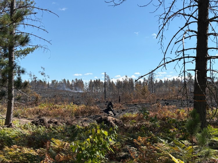
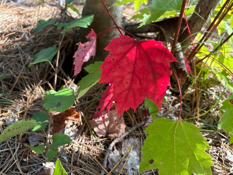
We made our way to the edge of a prescribed burn that had happened a few days before–it was still smoking a little in a few places. It was eerie to see the charred landscape, and I wondered about the methods for controlling a burn that size. As we hiked on, we passed other areas that appeared to be re-growing from previous burns; lots of ferns, a few tall trees but some smaller ones starting to grow… it was neat to see the progression. As we began to get closer to M-28, the landscape became less forest and more like a meadow populated by ferns and blueberry shrubs. A stray maple sapling here and there stood out with sprays of red leaves. Even though I was anxious to enjoy an afternoon swim, the last bit of the hike was really beautiful.
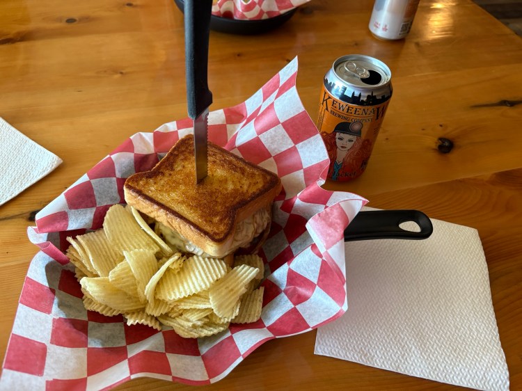
During the course of the day, Tom mentioned the Strongs Corner Tavern a few times, and by the end of the hike, we were all convinced that was a better option than any dehydrated meal could possibly be, so after a swim and a short nap in my hammock, we headed out for dinner. The Tavern not only has some good comfort food, they also have a little gift shop, a general store with all kinds of snacks and other things a weary traveler might need, and sell gasoline. Quite the one stop shop! With full and happy bellies, we returned to camp for a fire, then bed.
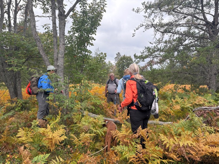
Saturday, minus Tom, who was headed back downstate, we joined the Hiawatha Shore-to-Shore chapter for their group hike, a 6-mile stretch that led us right past our campground. Hike leader Tom filled us in on the area’s history, including its use as a training ground for U.S. soldiers, hence the name of the lake. I tried to mingle around in the hiker line up to get a chance to talk to everyone. I don’t think I quite accomplished my goal, but I came close. As we hiked, Tom and Cody cleared fallen trees. We joked about Tom’s blue tape on his Achilles tendons looking like blue blazes–very appropriate for the hike leader! In some areas, the ferns had all turned golden, and we saw more red and burgundy maple leaves. In spite of the warm day, it was very clear that fall is on its way. While the sky was quite dramatic, the forecast rain held off during our hike.
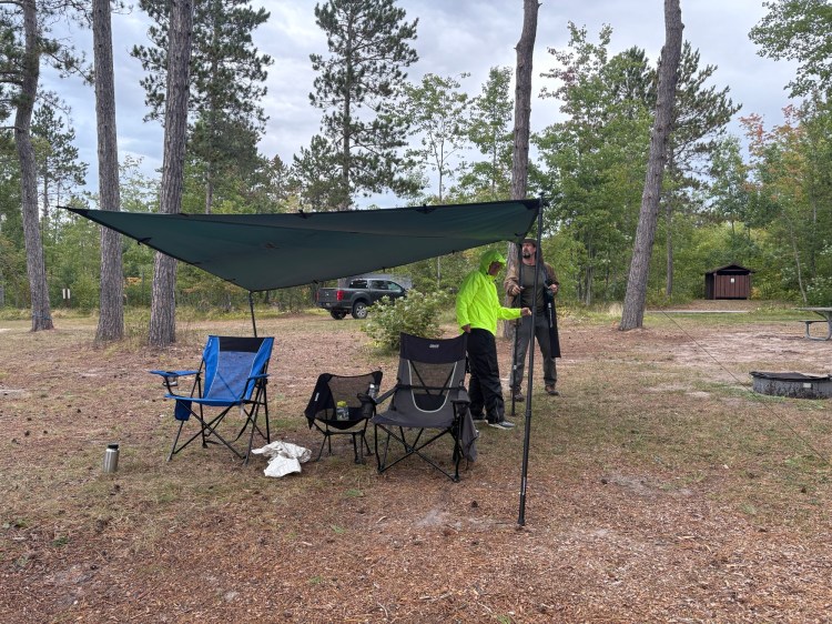
After two days of double digit miles, six felt like just a brief walk, and before long, it was over. We headed back to the campground, minus Lena, who was also headed home, but gained Cody and his dog, Argo. Jen and I went for another swim while Cody set up his gear. I was looking forward to a leisurely hour or so of looking at the lake, sitting in my chair, and chatting with my friends before dinner when the forecast rain finally arrived. After a minute or two of checking the radar, hemming and hawing about how hard it was really going to rain, we all headed to tents or vehicles to take cover. After a little while, it seemed to have stopped, and we ventured out again, only to be foiled once more. Thankfully, Cody had a tarp and poles, which seemed to scare the rain away in short order.
After dinner, we had a fire, and while I had planned on an early bedtime, the stars were so beautiful that we stayed up until about ten. In addition to watching the International Space Station and SpaceX satellites, we saw a vibrant meteor streak across the sky.
I woke a little before my alarm Sunday morning to the call of a whippoorwill. Jen and I had heard one Thursday morning, too. This was a new bird call for me–I’ve heard them mentioned in A Sand County Almanac and other nature-themed writing, but this was my first experience hearing one!
Our hike today was a shorter one–the Bark Dock to Naomikong Overlook, about 4 miles. While the rain had stopped, the sky looked questionable. We packed up and left camp at 9:30, arriving to begin our hike around 10. The trail followed Lake Superior, sometimes in the woods, sometimes along the beach. Last night’s rain had invigorated the moss, and everything looked green and magical.
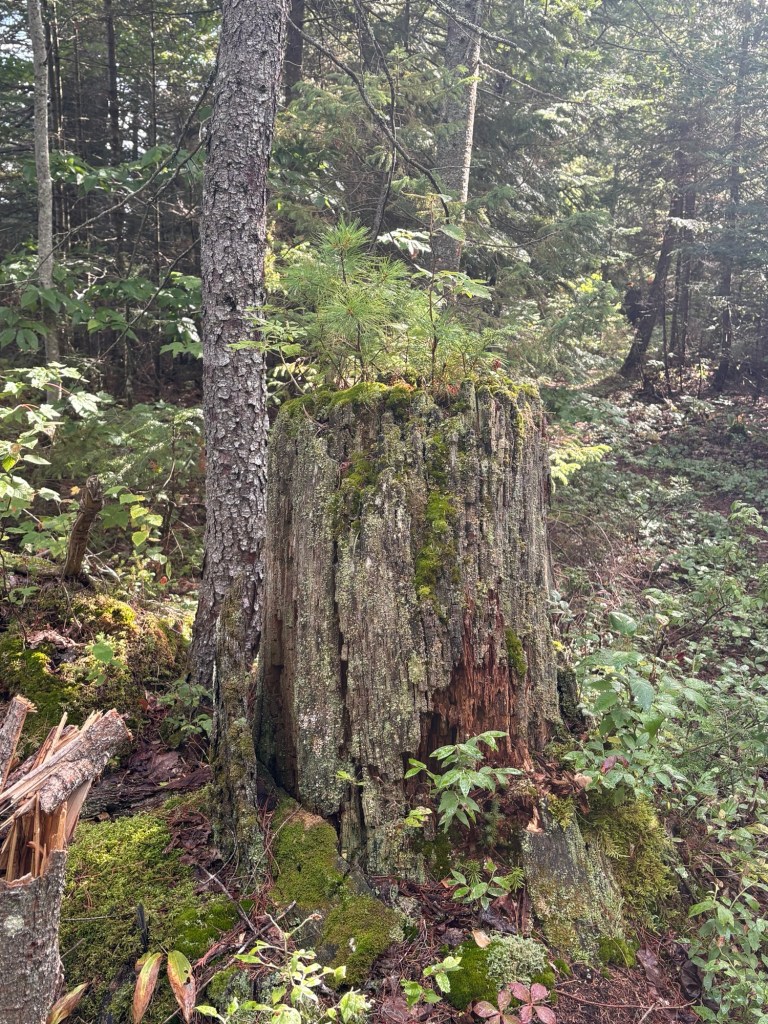
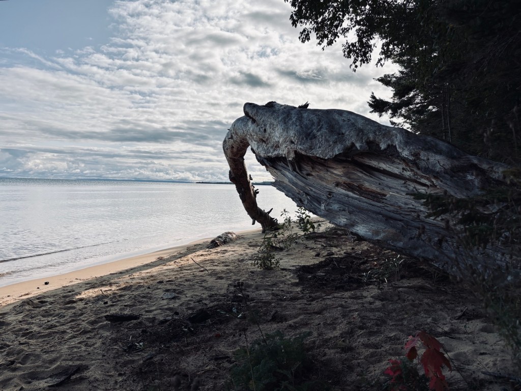
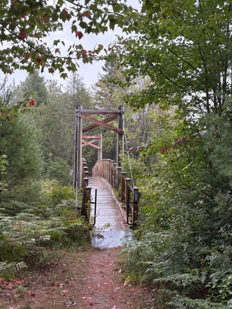
We encountered a particularly interesting piece of driftwood–an uprooted pine, I would guess, and some mossy stumps hosting entire ecosystems. We bumped into our friend Judy, heading out to do some trail maintenance, at a mid-point trailhead. It started to rain, but as it was reasonably warm, it was really no big deal. And we were treated to a suspension bridge!
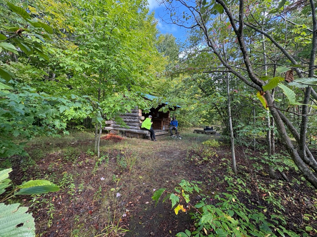
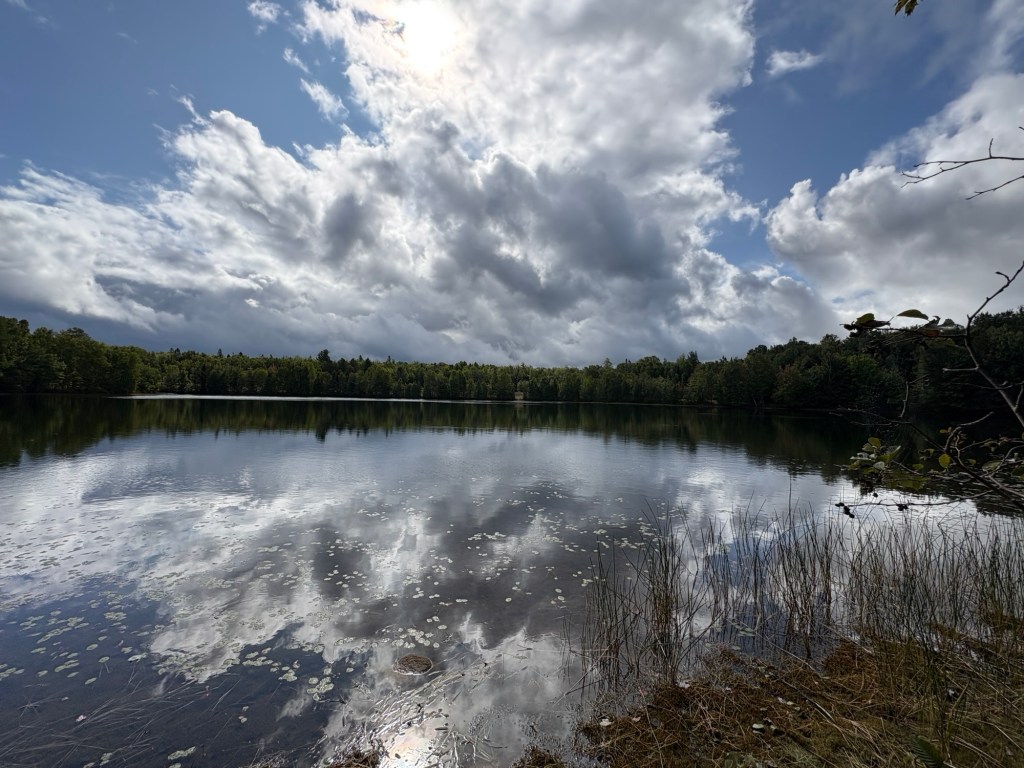
As we reached the parking lot that marked the end of the hike, Cody suggested hiking to the shelter that we had missed on Friday. The rain let off for a bit, or maybe we were just in enough of a tunnel of trees that it wasn’t reaching us, but it was a nice walk. We checked out the shelter, enjoyed the view of the pond, picked up a little trash, and perused the shelter journal, which had the edges of some of its pages gnawed off by mice!
We piled into my car so that I could return Jen and Cody to their vehicles, and said our goodbyes in the rain, which had started up again. I decided to avoid the main roads on my drive home, hoping I might see some pretty views along the way, and was not disappointed.
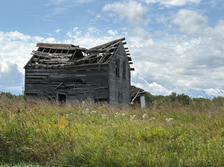
By the end of the weekend, I had filled in a 36-mile section of NCT, so now I have a solid line recorded from Tahquemenon Falls State Park in the UP down to Cannonsburg in the LP. Making progress! And it was such a beautiful weekend–so nice to visit with friends, see the golden ferns and green moss (AND that meteor!!!) and each lake swim this time of year seems like a stolen bit of summer!

