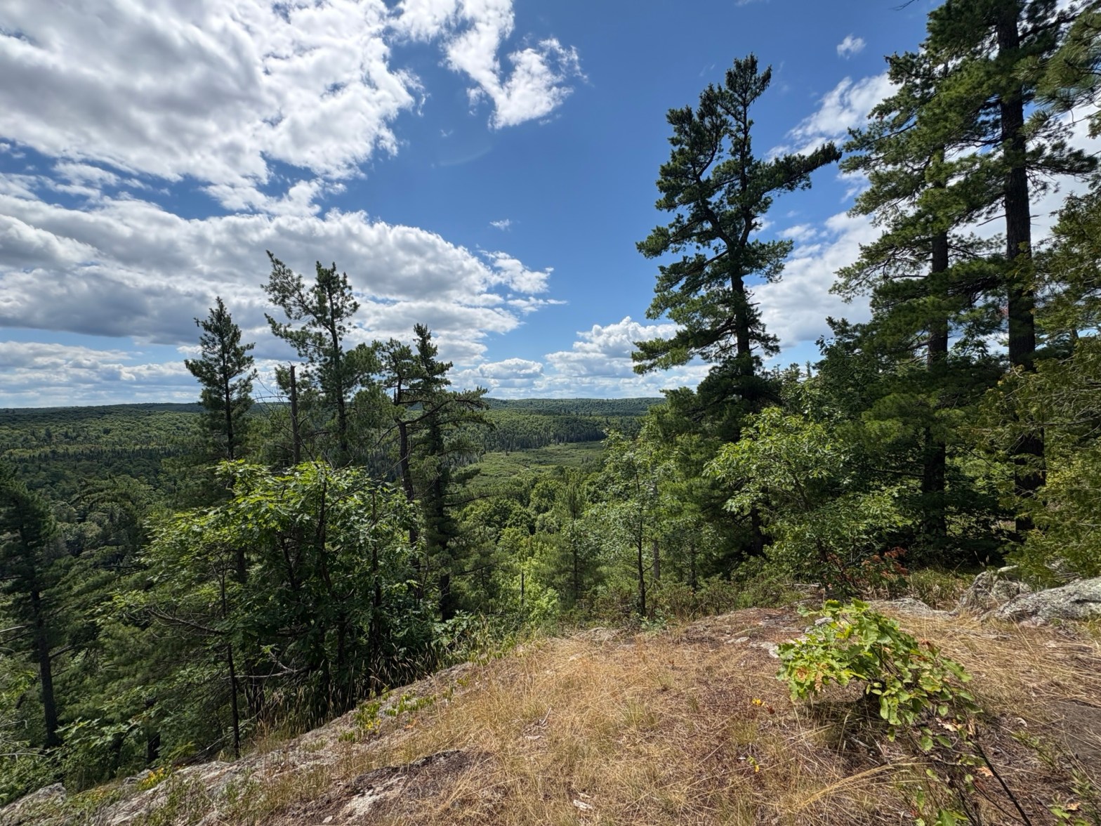
I am chipping away at NCT sections in Michigan, trying to complete the whole state. Over the years, I hiked quite a few sections with my friend Tammy, accomplishing a lot before setting the goal of completing the state. I have ended up with a few “orphan” sections to complete that sometimes make for interesting logistics, as in this case, where we had to begin our hike out in the Mulligan Plains, near Ishpeming.
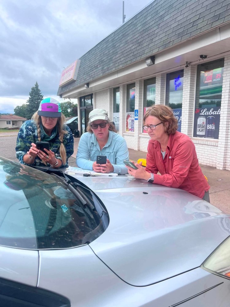
I learned long ago that the “shortest” way is not always the “quickest” way in the U.P. Roads that appear on Google maps or in my road atlas sometimes are little more than snowmobile trails, or a hint of a road. But I had learned that if a road showed up as a solid white line in my road atlas and Gaia app, it was probably safe. This was not the case on this trip, which resulted in our group of five arriving at the trailhead a couple hours later than I had anticipated. Luckily, no undercarriages or tie rods were damaged in the process.
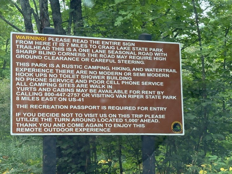
Our group consisted of five women who have been backpacking together for a few years. We met at Craig Lake State Park to stage cars, as this would be our end point. The warning sign at the entry of the park is enough to make anyone question their life choices, and that turned out to be a running theme for this trip. Our plan was to begin at Mulligan Plains, dispersed camp for three nights along the NCT, then spend two nights in camp sites within Craig Lake SP, continuing our NCT quest, and also exploring the park.
Once we safely arrived out at Mulligan Plains, parking off of a road probably only frequented by side-by-sides and crazy hikers, we took off up the bluff, which was decorated by a small stream, large mossy boulders, filtered early evening light, and a minimal amount of bugs for the UP. All good, except for the incline, but I had been expecting it. I remembered that bluff from when we had returned to our spotted car years ago, not knowing then that the climb would be in my future.
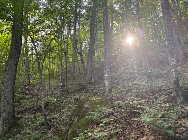
Our plan was to hike four miles and camp at Coles Creek, a water source noted on the Avenza app and NCT maps. The hiking was steep and rocky, but beautiful. I could see that we still had several hours of daylight left, and hoped that we would have plenty of time to arrive at our destination, set up camp, and filter water. Several of our group members got a little ahead, as two of us picked our way slowly down a descent just before our hoped for water source and camp site. “The creek looks dry, and there’s nowhere to camp, but Debbie found some plastic ribbons blazing a spur trail, so she’s checking that out,” Nikki reported. The spur trail Debbie had discovered had been newly cleared, with debris from cut trees and branches tossed to the side, and it led to Silver Lake Basin, which was a good water source. We quickly set up our tents, struggling to find flat spots, moving brush and fallen branches; we ate dinner–I don’t think anyone cooked–just a quick protein bar for me, then hung our bear bags and went to bed as darkness fell. It rained overnight, but mercifully stopped by morning. In the morning, someone reported hearing the call of a barred owl, but I must have been sleeping too hard to hear it.
We were ready to face a new day, and packed up after having breakfast, which I think was oatmeal for most of us. We hiked down a gorge to Wildcat Canyon Creek, which was rather anticlimactic, given its name, but it looked to be a good water source. We discovered that there was a pretty nice camping area there. Such is the game of dispersed camping–always wondering if there’s a nicer campsite just around the next bend. But, the extra half-hour it would have taken us to find this location the night before would have meant less light in which to set up camp… it’s always a tradeoff. As we hiked, we climbed to a ridgeline which afforded some beautiful views before descending again. We had to laugh as we encountered some of the “parking areas” noted on the NCT maps. Clearly, the assumption is that you are driving a high clearance vehicle if you are going to attempt to get to most of these locations. That’s probably Yooper wisdom–why would you drive anything else when you live up here?
As we hiked, we discussed many things: the book “Women of the Copper Country,” which I had suggested we all read before the trip, what to do if we saw a moose (inspired by the large quantities of scat and hoof prints we saw), and the various other topics that come up amongst women who only see each other a few times a year: jobs, kids, significant others, good shows and books, good gear… and lots of wondering about various plants and rocks along the path.
We also discussed the dried up water sources that were labeled on the map, and hatched a plan to stop for dinner at Dead River Waterfall at mile 226.5, cook dinner there, and camel up on water in case the Dead River source noted on our map for our planned area to camp for the night was dry. While Nikki explored the shore of the waterfall, I used my bear bag string and a silnylon water bag with a rock in it to collect water from the bridge. We set up our chairs along a quiet roadside and ate before heading off in search of a campsite in the next mile or two. As it turned out, the next water source was not dry, so we probably didn’t need to carry the extra water, but Murphy’s Law says it would have been dry had we opted not to.
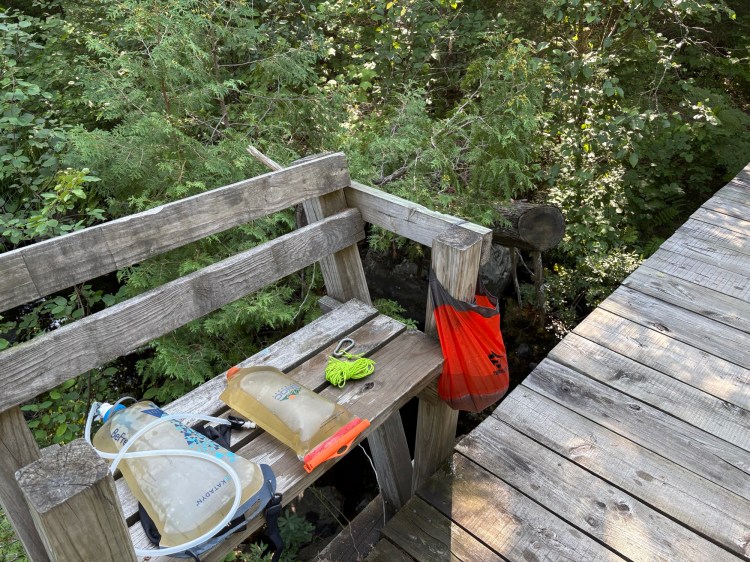
We scouted out a grassy field near a parking area but passed it over, thinking of avoiding ticks, and ended up camping in an area that had been selectively logged within the recent past. While there were still plenty of trees, finding any with limbs strong enough to support a bear bag was tricky, so we all got in some extra steps that evening. Again, we all went to bed pretty early, exhausted by the day’s ups and downs. I was cold in the night and got out my rain coat to place over my down blanket. In the morning, Sara and Debbie kindly made a water run to the Dead River, about a quarter mile back.
The following day, the trail was going to cross over Marquette County’s highest point. Having previously hiked at Sugarloaf and Hogback near Marquette, I figured that we would have quite a climb, because I would have guessed that either of those locations would have been the highest point in the county. We would also be heading into the McCormick Wilderness, where the trail is not blazed. We talked about taking extra care not to get spread out as a group, and to keep an eye on the tread of the trail. We filled out a little slip at the kiosk that marked the entrance to the wilderness area, recording our names, entry date, and planned exit date, and wondered about how often anyone checked those little slips of paper.
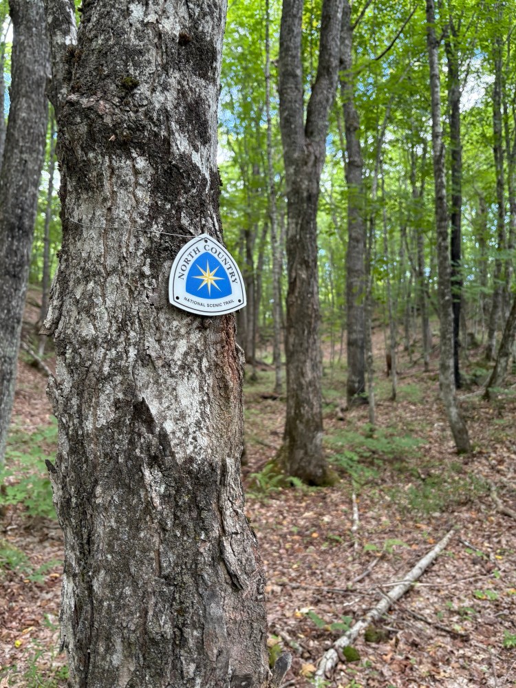
While I had been somewhat worried about trail-finding in the Wilderness area, and taking extra time to stop and double check maps, it turned out that the trail was easy to follow, and somewhat less challenging terrain. When we stopped to eat lunch on top of a bluff, we were happy to discover that we had made it to the high point in Marquette County without even realizing it!
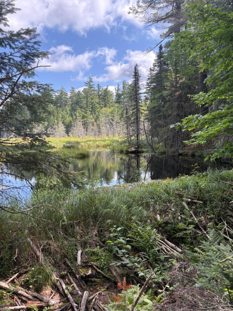
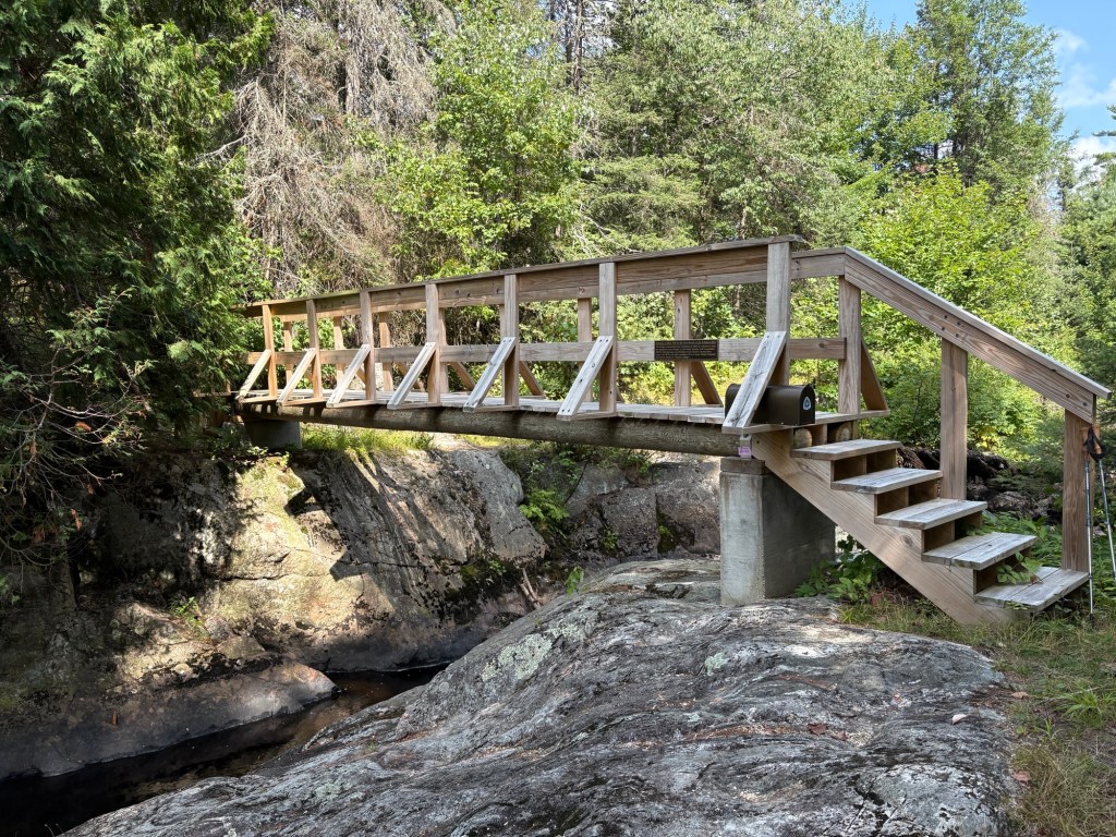
We ran into two other hikers, two women who had begun backpacking from the entry into the Wilderness off of M-28. They were the only people we saw until we began to see paddlers at Craig Lake, later on in the trip. We stopped for lunch where NCT volunteers had built a bridge over the Peshekee River. There was a glorious view, and we soaked our feet in the frigid water, grateful for a bit of an ice bath for our aching toes. That location was one of the high points of the trip.


Our plan that evening was to camp near Ephraim Creek. On a map, it’s hard to tell what a place will be like. Yes, there are elevation lines and little dots denoting swampy areas, and colors indicating public lands, but you just never know if there’s going to be a good spot to camp near the water source, if the source will have good flow, etc. We discovered that Ephraim Creek ran through a marshy area, and had some questionable looking goo at its surface, and that the local road commission had been busy widening a road that ran through the area. We hiked ahead on the trail a quarter mile or so, but it was hilly, swampy, rocky… not ideal for making camp. We backtracked to an area up off of the road that had some flat space before a big rocky outcropping began, and we made camp there. Some of the group walked up the road to Lake Arfelin, to get water and hopefully swim at the boat launch. Jane and I stayed back at camp, looking forward to some quiet reading time. This was the first evening that we had arrived at camp early enough to have some time to relax, and it was much enjoyed.

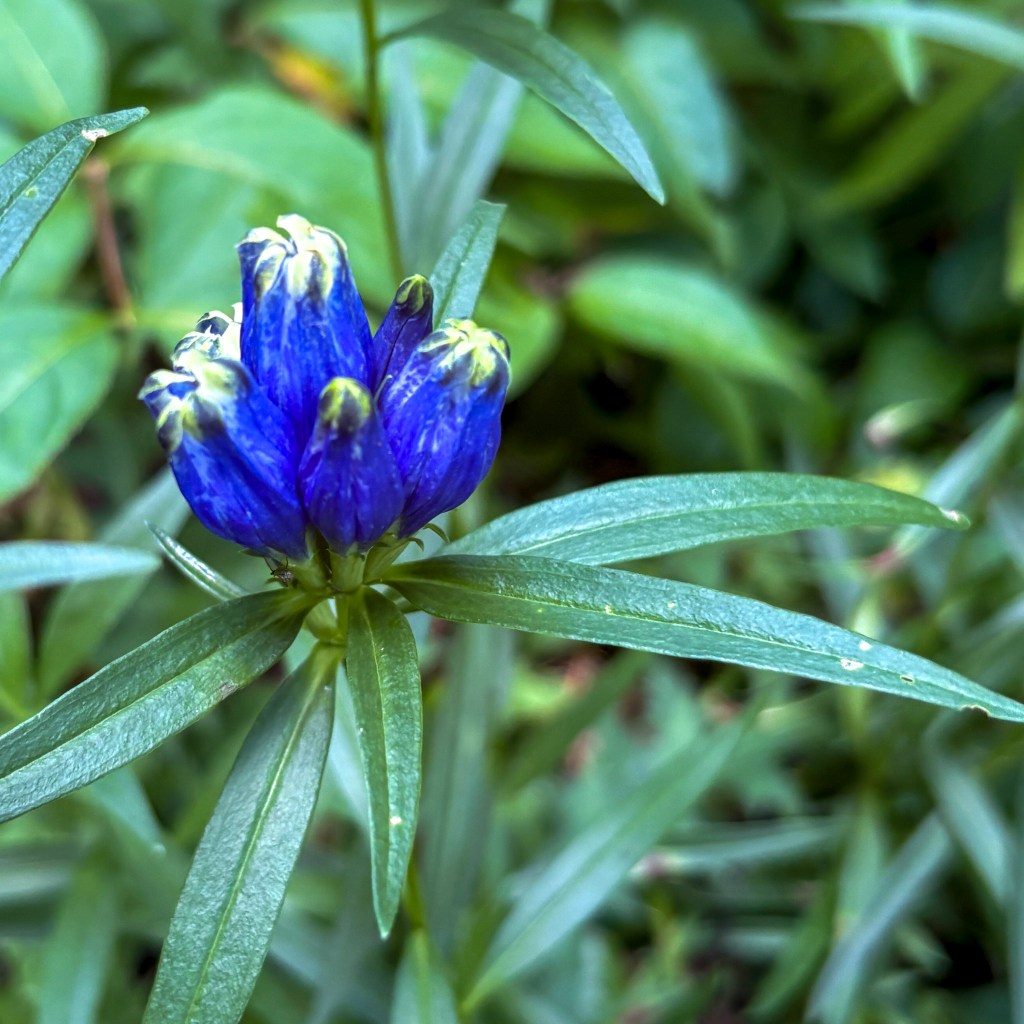
The next day, the trail seemed so much easier–still hilly and rocky, but just not as extreme. Maybe I was just getting used to it. The boulders and moss continued to be ever-present, and we snacked on wild thimbleberries and blackberries as we found them. We encountered dozens of beautiful blue tube-shaped flowers that I had never seen before. The bees loved them.
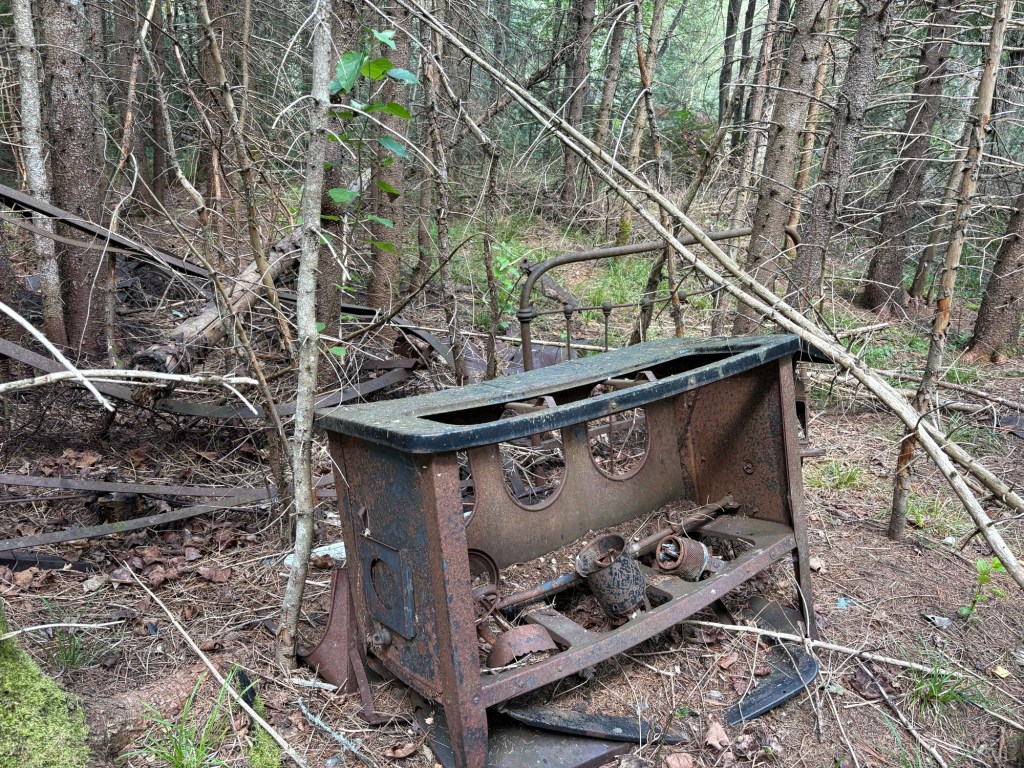
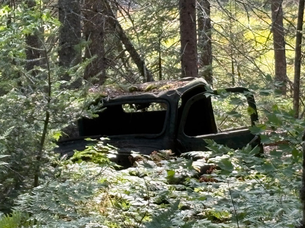
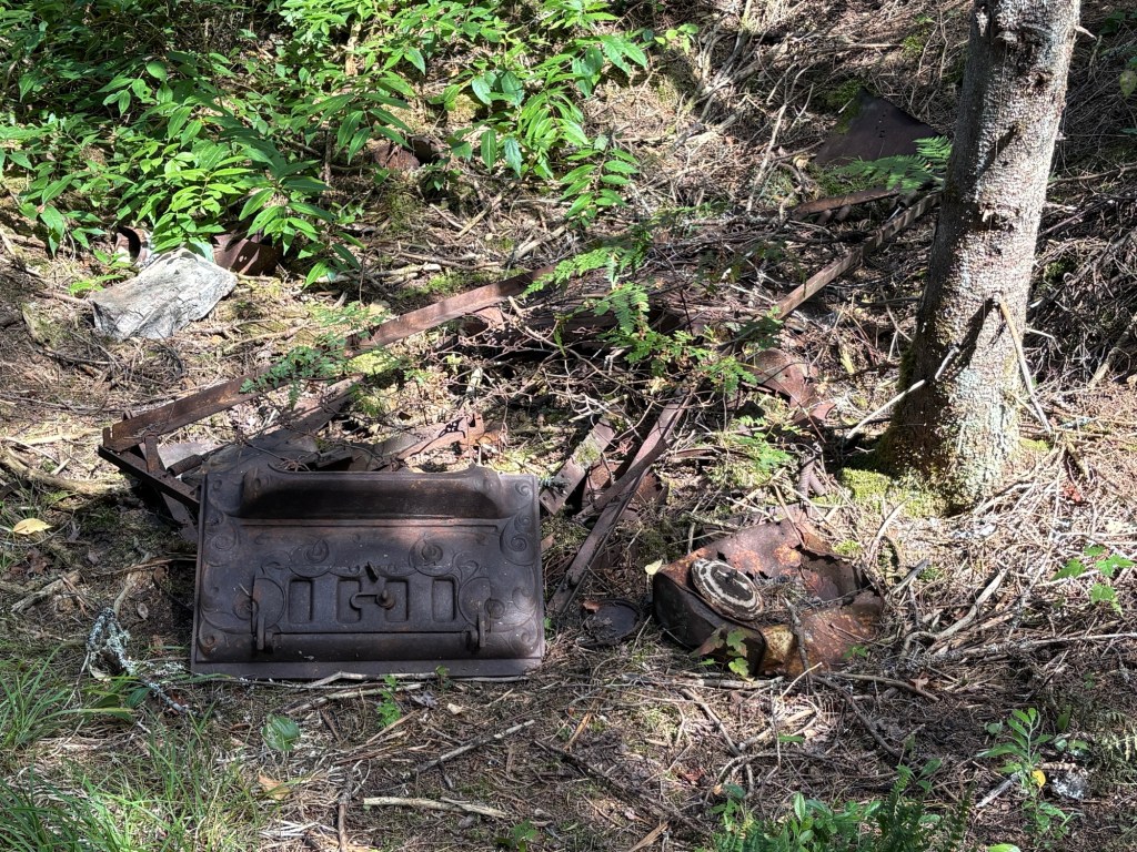
As we neared the boundary of Craig Lake State Park, the trail turned into an old road–it was like hiking a sidewalk paved in moss, practically. We encountered what I like to call ‘historic trash” in a few locations. The McCormick Wilderness and Craig Lake State Park were both previously the hunting lands of wealthy families, and you stumble across a woodstove, old car, etc. every once in a while. From the border of the park it was about three more miles to our site, #15, along an unnamed creek. There was more “historic trash” off to the side: a bed spring, a barrel, some pot lids and old tin cans. While the site wasn’t anything spectacular to the average camper, we considered the easy water source, fire ring, and flat ground an absolute blessing.

After setting up camp and cooking dinner, we took a quick hike back to a bridge we had crossed, set up chairs and enjoyed the view, while talking about everything from AI to online dating, as well as the usual backpacker gear reports. When we returned to camp, we enjoyed a fire and went to bed. In the night, I heard the giant “splooosh” from the creek that I associate with a moose dunking its head down into the water to feed, and could hear it moving through the water (based on experiences on Isle Royale where I could confirm it was moose making this kind of noise). While I was hoping to actually see a moose, hearing one was pretty cool, too. This was another cold night, and I ended up making a stocking cap out of my Buff and sleeping in my raincoat to stay warm. Lesson learned: I need to either suck it up and buy a 40-degree quilt, or carry my 20-degree quilt, even though it takes up more space than I would like. The Costco down blanket isn’t cutting it when the temps fall into the 40’s.


In the morning, Debbie and Sarah packed up to head home, while Nikki, Jane, and I enjoyed a leisurely morning, and then packed up to move on to site #6, three miles down the NCT, where we would spend the next two nights. The site was gorgeous, high up over Craig Lake with giant white pines towering over us. We could see paddlers go by on their way to other campsites, or to fish, and the reflections on the lake were breathtaking. Because I wanted to keep my trekking poles free for hiking, I pitched my Lanshan between two trees. I think it was the best pitch I’ve had so far. (Learning to use a trekking pole tent has been a challenge! I’m a hammock-camper at heart!) While site #7 was adjacent, it was empty for the time being. Because I had been nursing a hotspot on my foot, I begged off any additional hiking. I took a swim in Craig Lake, we cooked dinner and had a fire, and just about the time I was falling asleep, our site #7 neighbors arrived, via paddleboard, in the near dark. Apparently they made two trips back and forth to the launch to move in all their gear, but I was asleep by their second arrival.
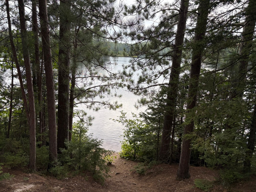


The following morning, I was gobsmacked to discover that I had slept until almost 9:00. (I’m usually a pretty early riser.) We finalized our plan for the day, which was to explore a bit around the lake (we’d abandoned our previous plan to hike the 10-mile loop around it), then go to Lawry’s in Ishpeming for cudighi sandwiches (an Italian specialty Jane had been raving about) and retrieve our cars from Mulligan Plains, so that we would have an easy start to the day Sunday, our day of departure. Because it was supposed to rain all afternoon and evening, we figured our odds of collecting the cars without incident would be better if we did so before the mudholes were fed.


Jane had warned us that from the outside, Lawry’s looked a little “sketch.” I cannot think of a more apt description for the cinderblock building we pulled up to, which boasted a “private property” sign in the window, in addition to its sign by the road advertising pasties and cudighi. But, there were enough cars in the parking lot to convince me that it was worth a try, and the smell was heavenly, so in we went. Inside, the staff was friendly and helpful, everything looked clean, and when our plates were put in front of us, we savaged our meals. So good! And there was so much, we wrapped our leftovers in foil to have for dinner back at camp.
Our drive out to Mulligan Plains was a bit muddier than the initial trip out there a few days before, but Jane’s Chevy Trax made it through the puddles and ruts just fine. We were glad to be getting out of there before the afternoon rains came. We stopped in Ishpeming to get gas, checked the radar and saw the storms were right over Craig Lake, and decided to wait it out for the next 45-minutes or so at the Circle K, where the snacks and cell service were both good. After a bit, we decided it was safe to head back to camp. In all, I think we got rained on for a total of ten minutes or less, but it was clear there had been quite a shower when we got back to Craig Lake Road. My Ford Escape and Jane’s Trax did just fine, but I wouldn’t recommend driving a sports car on it. Nikki, in her Jeep, was like a kid splashing in the puddles.
As we hiked back into camp, the smell of steak was hard to ignore. How much had those dudes loaded onto their paddleboards?! We chatted briefly with them about the day, shook the rain off our tents, and Nikki started gathering wood for a fire. That woman can start a fire under the most adverse of circumstances! A good quality in a hiking buddy!

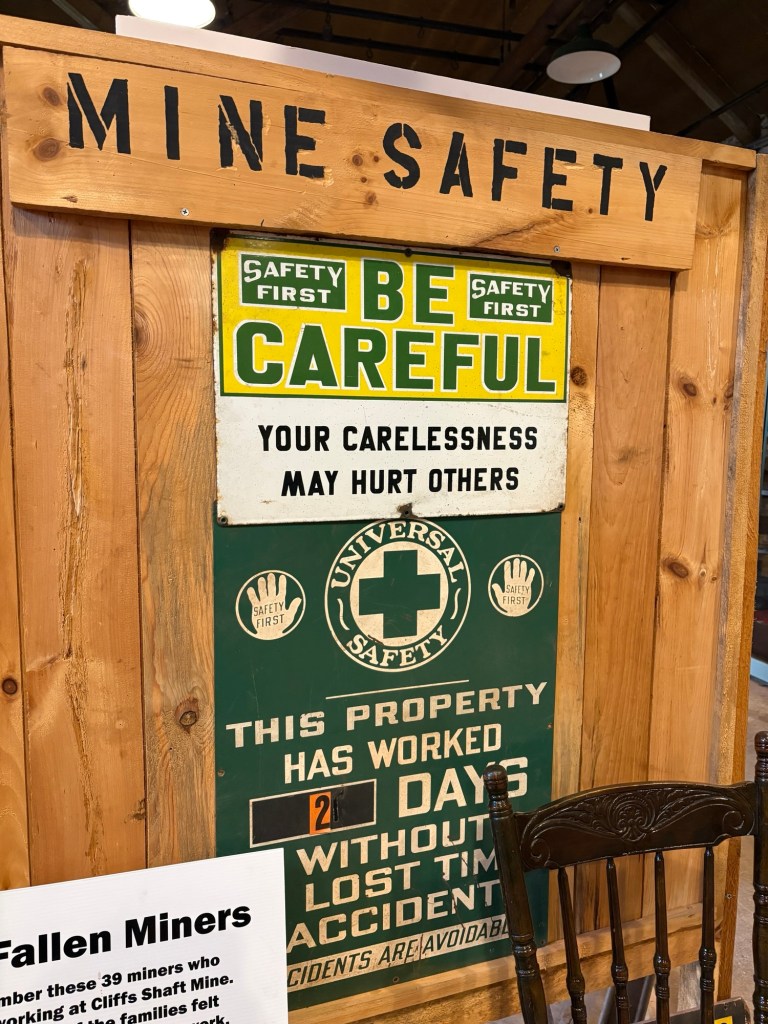
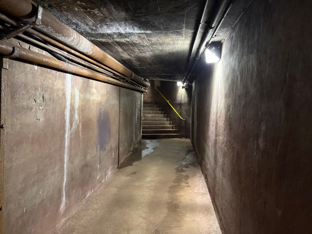
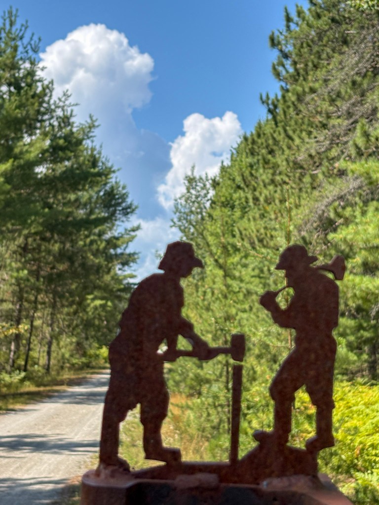
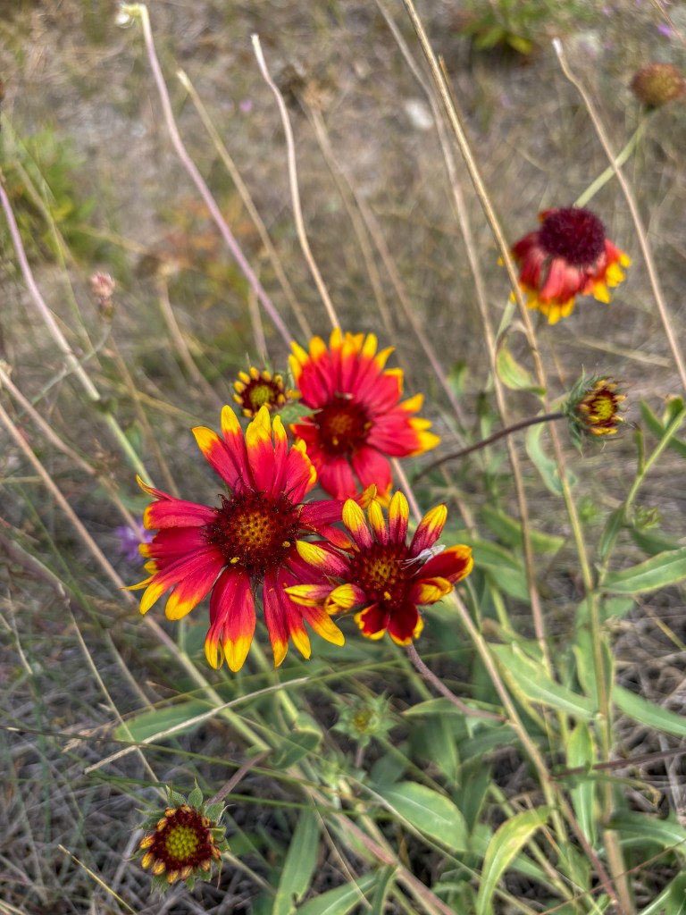
Sunday morning we woke early so that we would have time to tour the Cleveland Cliffs Mine museum in Ishpeming. We spent an hour or so there, and Jane took off. Nikki and I stopped at the Huron Mountain Bakery for sandwiches for the road for her, and trail for me, as she helped stage a car so I could add some more NCT miles for the day. We left my car at the Welcome Center near Harvey, and she dropped me at Kawbawgum Road, six miles east. We said a quick goodbye, and I began my walk, a very straight stretch of the Iron Belle bike path/NCT that runs near M-28. While I normally don’t love this kind of hiking, after days of struggling over roots and rocks, I was just fine with a flat gravel path. I listened to an audiobook, “Love, Sex, and Frankenstein,” a novel about the author Mary Shelley, which as you might guess from the title, was quite interesting. I also found a fabulous rock on which to sit and enjoy my sandwich, and deadheaded some spent wildflowers and saved the seeds so that I can sow them next spring in my flower garden.
After arriving back at the Welcome Center, I headed for home, adding a drive through the Seney Wildlife Refuge, for good measure. It was too windy for the birds to be very active, but it was gorgeous, nonetheless. I returned home, excited to see my hubs, take a shower, and sleep in a real bed, feeling fortified by the beauty of the trees, mossy boulders, water, and good hiking companions.
 Exploring Michigan and other cool places